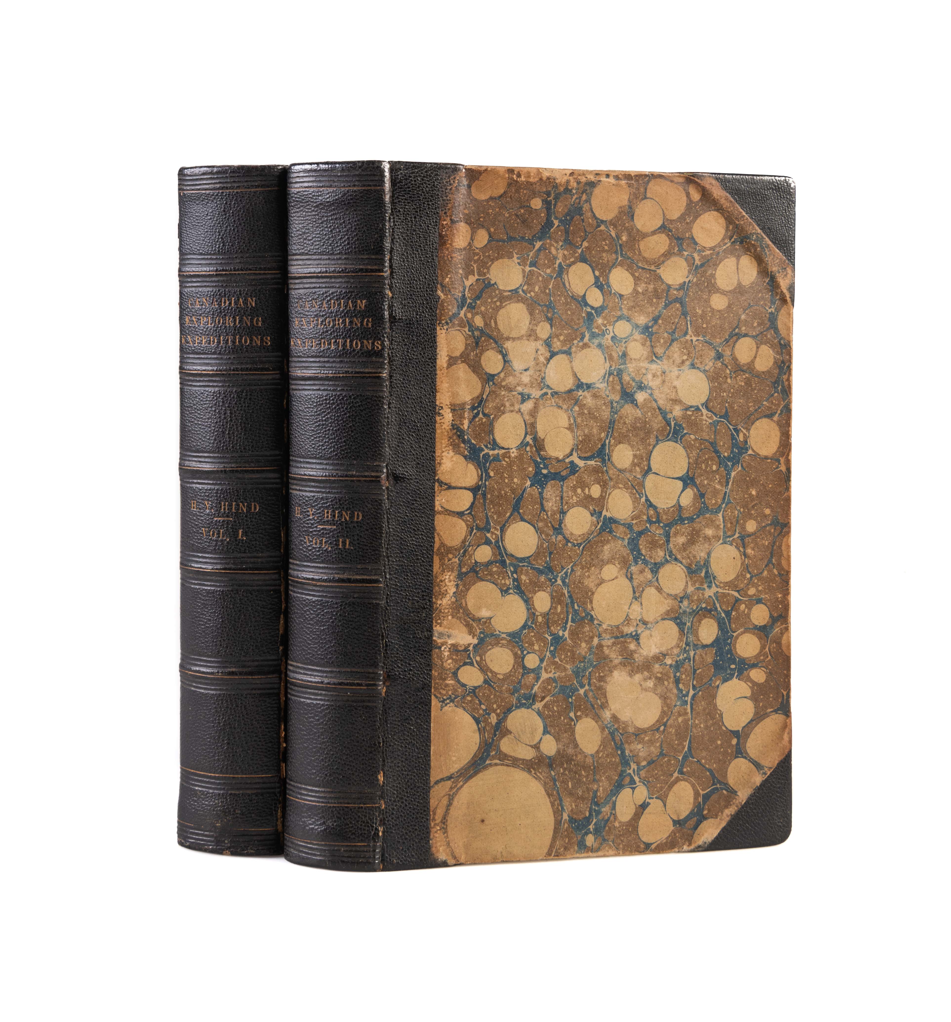
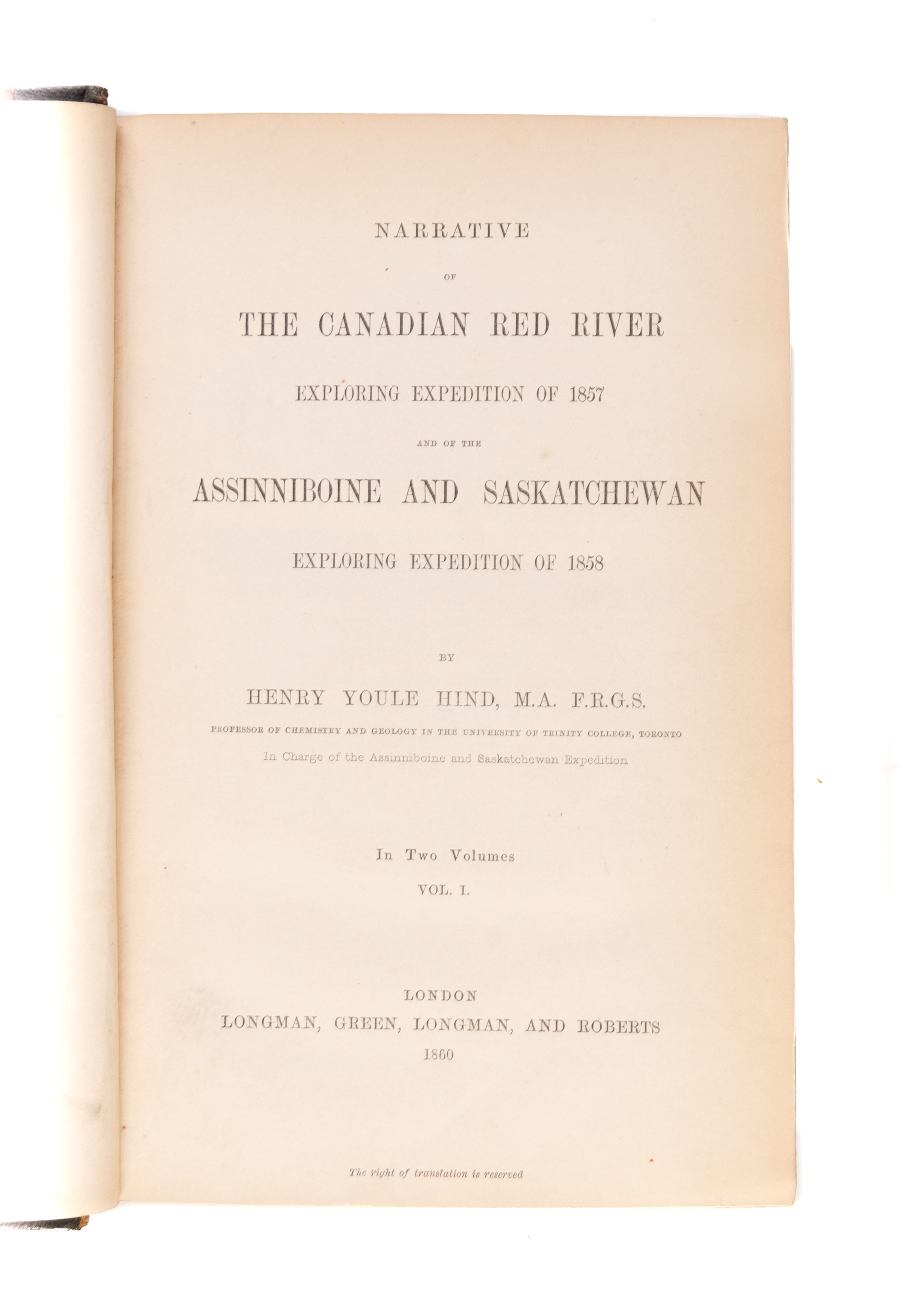
Narrative of the Canadian Red River Exploring Expedition of 1857
HIND Henry Youle (1860.)
£750.00 [First Edition]
Available to view at our Curzon Street shop.
and of the Assinniboine and Saskatchewan Exploring Expedition of 1858. First edition. 7 maps (two folding) and folding profile, all partially coloured, 20 plates, all coloured or sepia-toned. Half titles. Contemporary half morocco over marbled covered boards, spines gilt. Boards a little rubbed, inner hinges starting but sound. Small tears to gutters of both folding maps, one with small repair. xx,494; xvi,472pp. London, Longman, Green, Longman, and Roberts,
The expedition started from Toronto in order to ascertain the practicability of an emigrant route between Lake Superior and the Selkirk settlement, and to establish a new colony at Lake Winnepeg. During the course of his travels, Hind lived almost continuously among the Chippewa. He gives a good account of their customs and manners, with notes on their language. The magnificent plates were executed by Spottiswoode & Company, after sketches made by Fleming or photographs taken by H.L. Hime. The expedition added greatly to the knowledge of the region and facilitated the movement of prospectors to the gold fields of British Columbia. It also contributed data toward the establishment of a railroad route to the West.
Wagner-Camp 360. Field 699. Abbey 630. Streeter Sale 3730. Peel 221. Graff 1892.
Stock Code: 227112


