The Church Missionary Atlas. Maps of the various Missions ...
CHURCH MISSIONARY SOCIETY (1865.)
£450.00
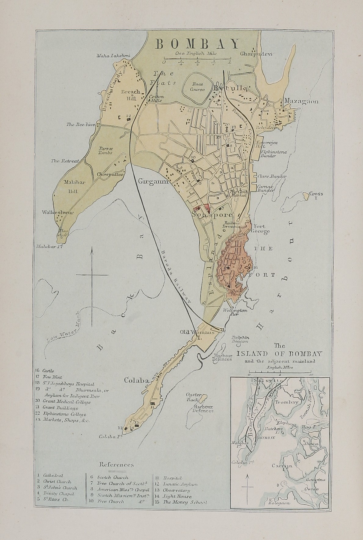
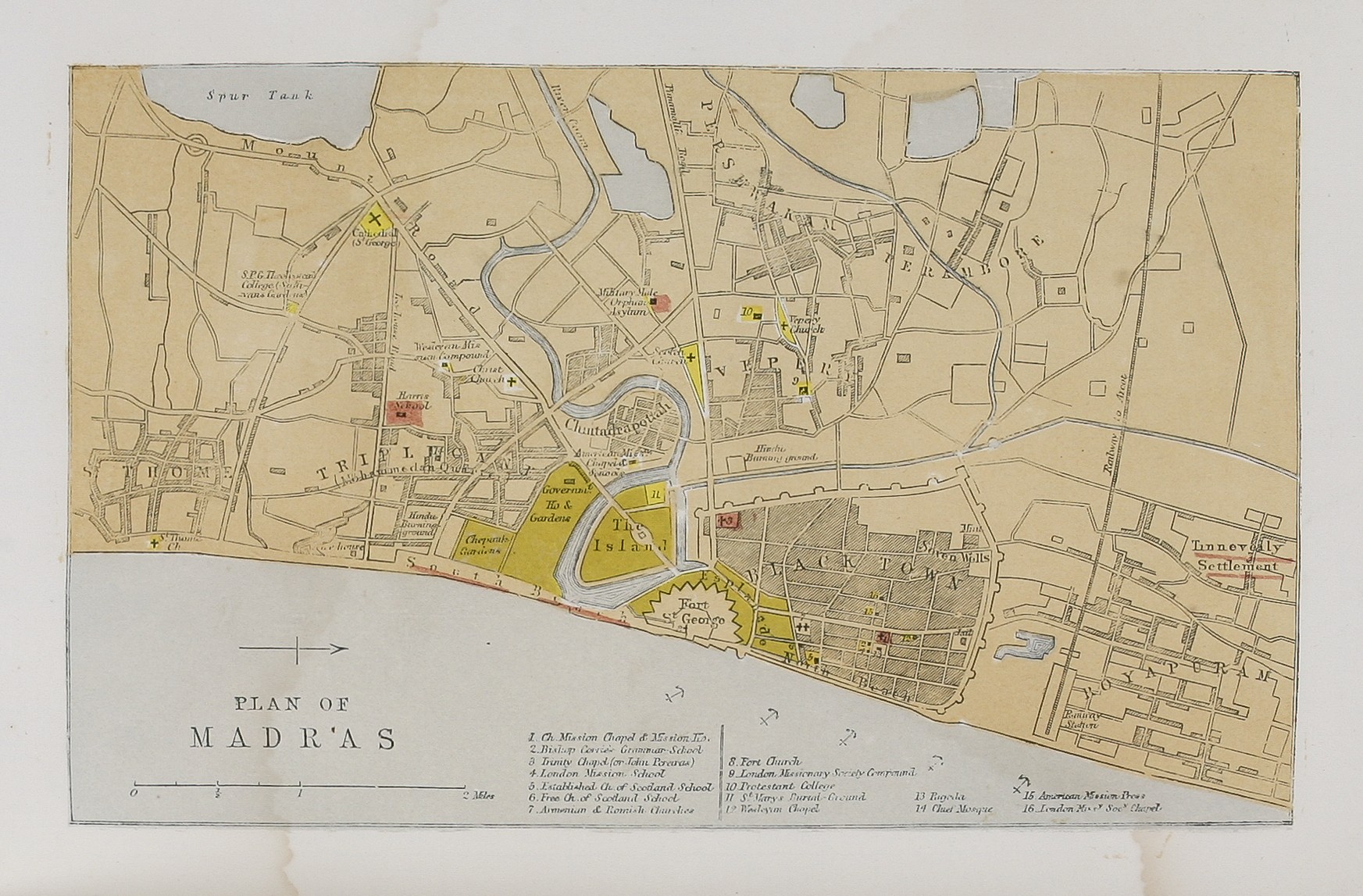
Fourth Edition; Octavo (250 x 166); cloth boards with embossed title, 58pp, two chronological tables ('Chronological Chart of the Progress of the Missionary Society' and 'Languages of British India'), 24 full-page wood-engraved maps; 224, [3pp]: 'Appendix, Containing A Register of the Society's Agents', with index. Ink stamp of the 'C.M.S. Circulating Library'. Contemporary black morocco, gilt titling to spine and front board. Spine and extremities rubbed. London : Church Missionary Society,
Fourth Edition of the Church Missionary Society's atlas. The maps mostly relate to West Africa, and African islands, India and its parts (with plans of Calcutta and Madras), but also includes China, New-Zealand's North Island, and Rupert's Land (broadly Manitoba and Ontario) and the Canadian Far West.
The Appendix, in five lists, records representatives of the Society sent abroad: 'Clergymen and Catechists' (listing 568 individuals), 'Secular Lay Agents' 'Female European Teachers', 'Native and Country-born Clergy' and 'Lay Agents ... taken up ...', with brief biographical details of the individual, and where they were educated, when they joined the Society, when, where, and for how long they served, and when they left the Society.
This is a presentation copy, inscribed 'Presented to Miss C Gurney The Church Missionary Collector of Great Caulfield by the Deputation for the Year 1866'.
COPAC returns three copies of this edition, with a fourth in the BL, bot only two contain the appendix.
Stock Code: 224607


