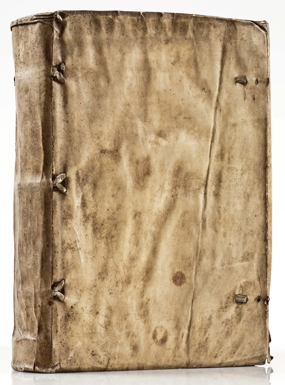
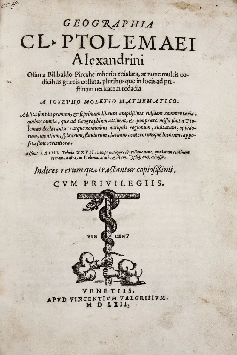
The rediscovery of Ptolemy’s geographical text caused much excitement; with the invention of printing, Ptolemy’s text, and accompanying maps, formed the first printed atlases, appearing from 1477 onwards. Even at that early date, it was clear that the maps were outdated, but contemporary cartographical knowledge was insufficient to produce a modern series of maps. Instead, successive editors chose to insert new maps in parallel with the existing Ptolemaic maps. Over the years, the modern section was greatly expanded.
One of the most successful versions of the Geographia was edited by Girolamo Ruscelli (1504-1566), an Italian scholar and, possibly, mapmaker. It was illustrated with the standard corpus of 27 Ptolemaic maps and an expanded section of 37 modern maps, which includes some notable additions. This volume is the second edition of Ruscelli’s version, now translated for the first time into Latin.
Principal among the new maps added by Ruscelli is the ‘Orbis Descriptio’, the first appearance of a double-hemisphere world map in an atlas, a map of Brazil and a modern map of Tuscany. Perhaps the most interesting is a copy of the Zeno map of the North Atlantic, first published in 1558 by Nicolò Zeno. He claimed to have found a manuscript account of a voyage into the North Atlantic made by two ancestors, the brothers Antonio and Nicolò Zeno, in about 1380, containing a remarkable map illustrating their discoveries. The authenticity of book and map is debated.
The atlas also contains enlarged versions of Giacomo Gastaldi’s maps of New Spain, Baja California and southern North America (Burden 31) and New England and maritime Canada (Burden 30).
References: Shirley, T.PTOL-10c; Nordenskiold Collection Catalogue, III, 217.


