[Anon]
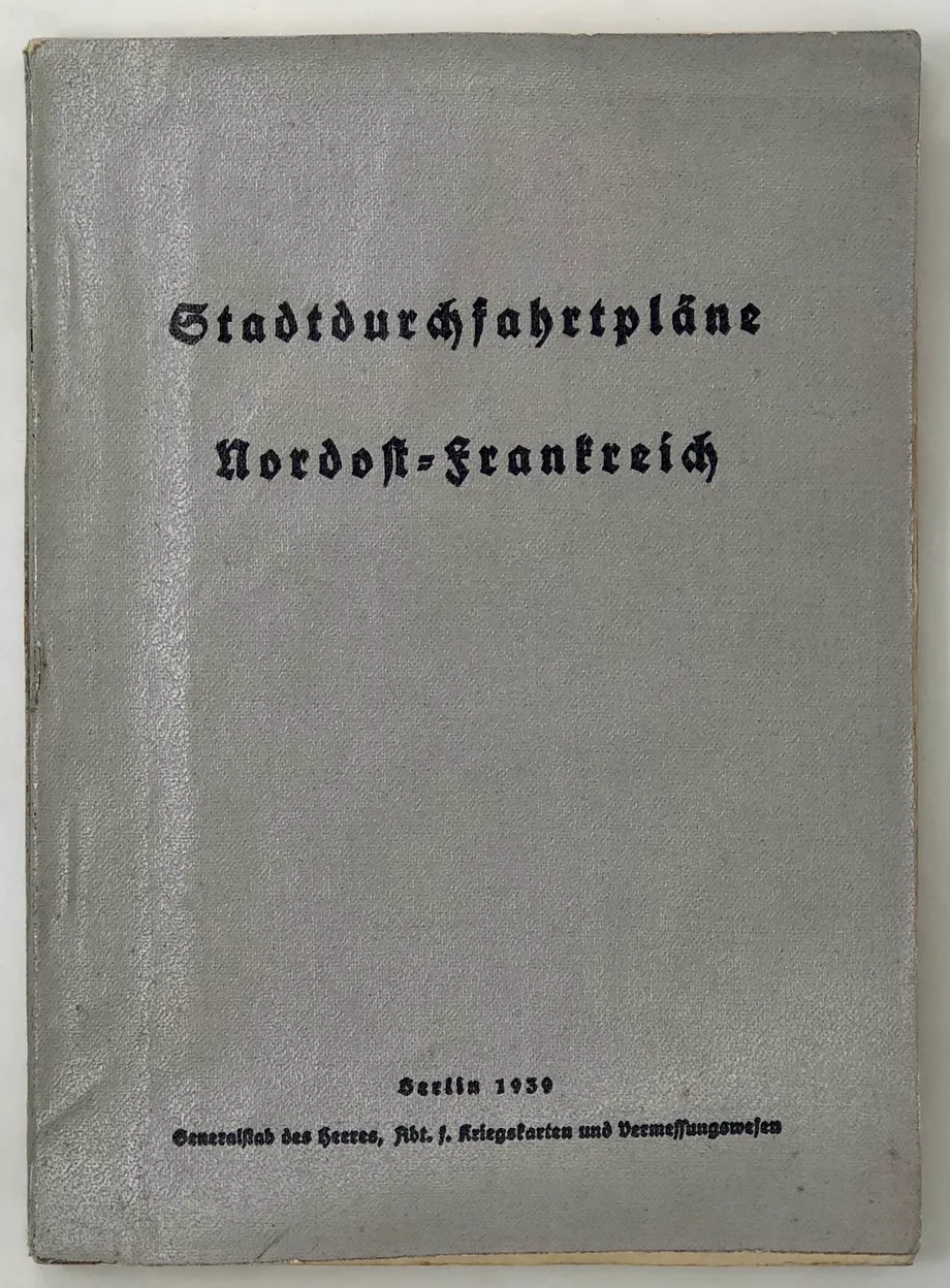
Stadtdurchfahrtplane Nordost-Frankreich.
Seven folding maps, ?lacks folding general map from the endpocket. Some light foxing, corner of one leaf torn away without loss of text, one folding map torn without loss, otherwise very good in the original grey glazed linen-covered card wraps. 173pp. Generalstab des Heeres, Abt[eilung] f.[ur] Kriegskarten und Vermessungswesen, Berlin, 1939.

